Apps
Built with CartoDB
A few of the great applications built with CartoDB.


Editor Transform your data into insights
CartoDB transforms layers of geospatial information into data-driven maps that enable analysis and visual discovery of trends and patterns to make better, faster decisions.

Map data effortlessly
With CartoDB, bringing location-based data to life is incredibly easy. Connect your data from many sources and start mapping right away.

Uncover insights in seconds
Navigate through vast amounts of information. With just a click, see trends, clusters, and densities. Or do advanced analysis on the fly.

Customize and share
Highlight, annotate, and add interactivity to tell your story. When you're ready share it securely within your team, organization, or with the world.

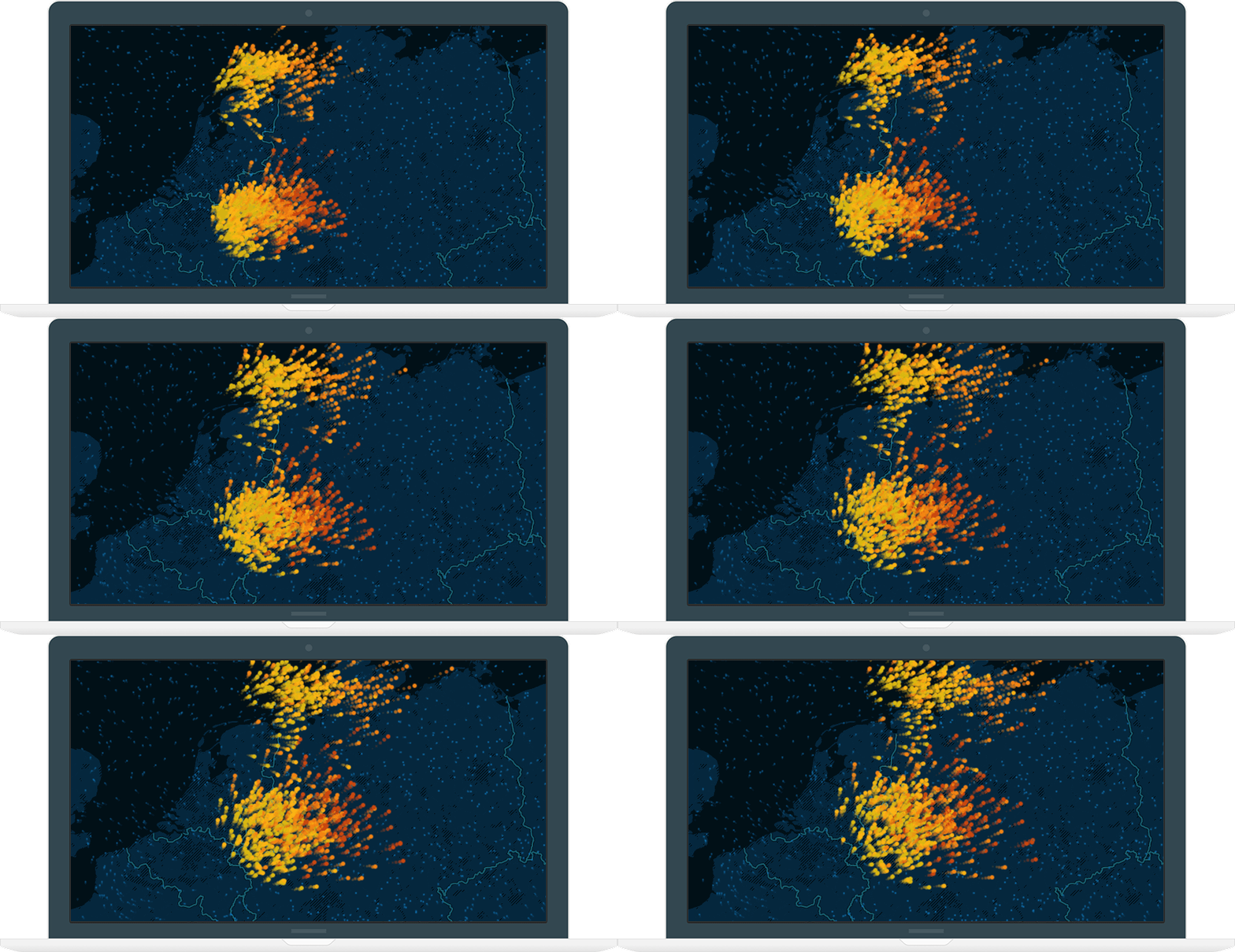

-
Map data effortlessly
With CartoDB, bringing location-based data to life is incredibly easy. Connect your data from many sources and start mapping right away.
-
Uncover insights in seconds
Navigate through vast amounts of information. With just a click, see trends, clusters, and densities. Or do advanced analysis on the fly.
-
Customize and share
Highlight, annotate, and add interactivity to tell your story. When you're ready share it securely within your team, organization, or with the world.
Integrations
Connectors
Bring data into CartoDB and bring CartoDB maps everywhere.


Documentation
Documentation for everyone
We are here to help you understand all the basics of CartoDB. It's super easy to get started and do impressive visualizations with your data in minutes. This is the first step to understand the world we live in, with maps.

Embed
Bring your maps everywhere
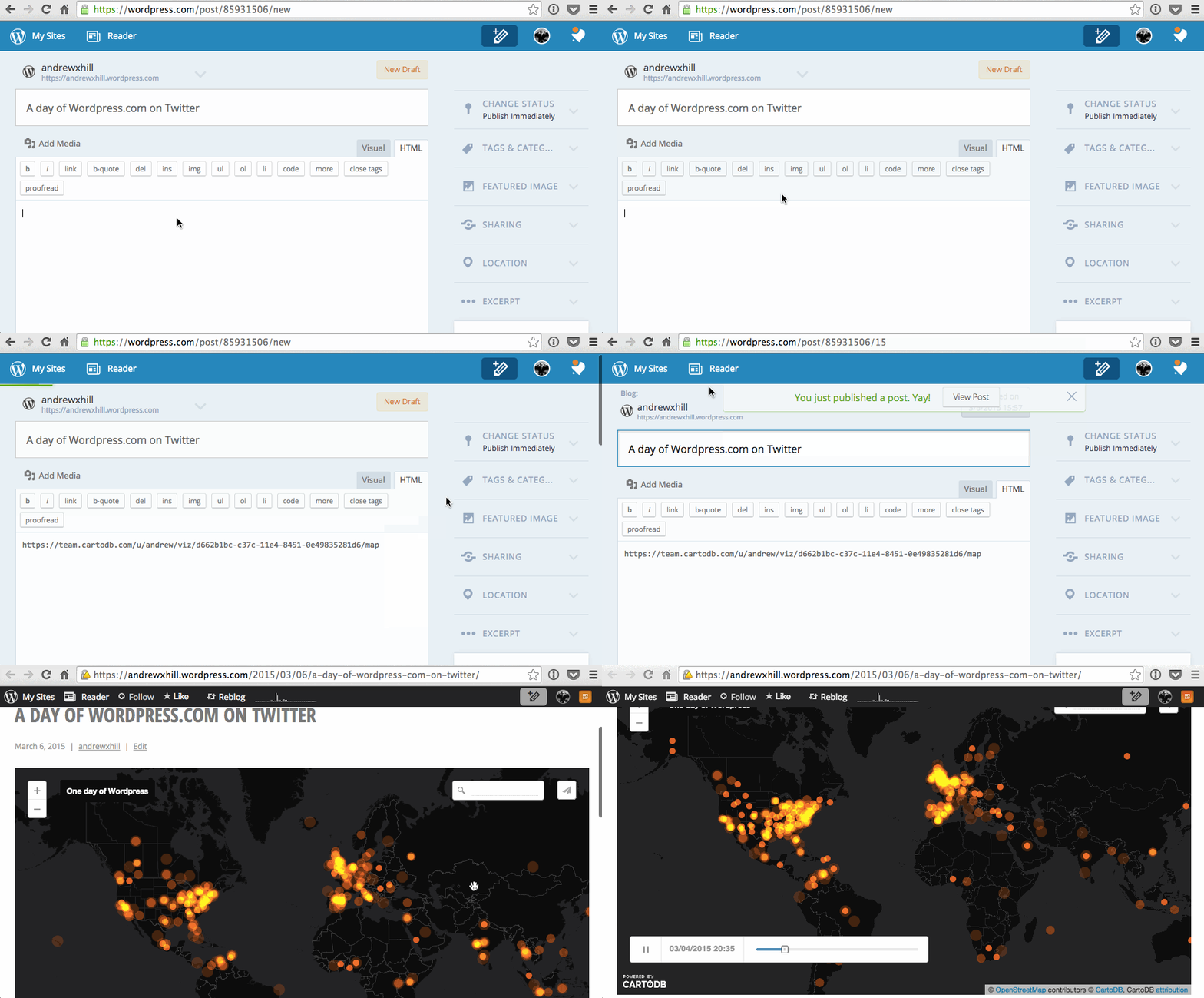
Simply paste your CartoDB map URL into your WordPress post, SharePoint site, or Embedly embed.
-
Easy and fast
In just two steps as simple as copy and paste your CartoDB map URL into your post.
-
Cross-Platform
WordPress post, SharePoint site, or Embedly embed. Use it on your favorite platform.