Introduction
The CartoDB Editor
The CartoDB Editor is a self-service mapping and analysis tool that combines an intuitive interface with powerful discovery features. Mix and combine your datasets to get fresh insights into your visualizations. You don’t need to be an expert to start mapping your data today. Point and click interfaces let you do everything from design, to analysis, to publishing APIs.

Connect data
Create rich, dynamic maps in moments
Whether you're starting from a spreadsheet, connecting your favorite business software, or drawing from vast sensor networks, CartoDB brings your location data to life. CartoDB looks through your data and suggests map types that highlight key trends. Our intuitive tools mean you can make your visualizations as simple - or sophisticated - as you like.

Uncover Insights
Insights at your fingertips
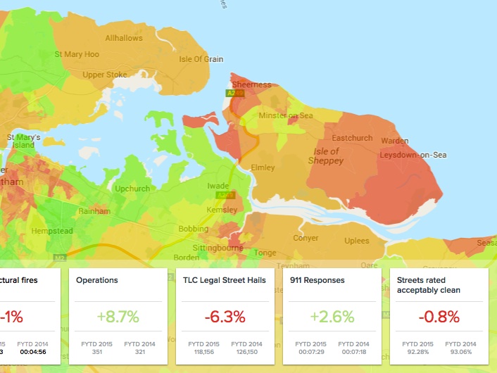
The CartoDB Editor helps you ask ‘where’ and ‘why.’ Filter, cluster, and explore location-based trends. Test your hunches and gain new perspective by incorporating our public, market-specific, and specialty data. Do advanced analysis on the fly, and see the results in real time.
Discover location insights across industries

Customize visualization
Polish and Publish
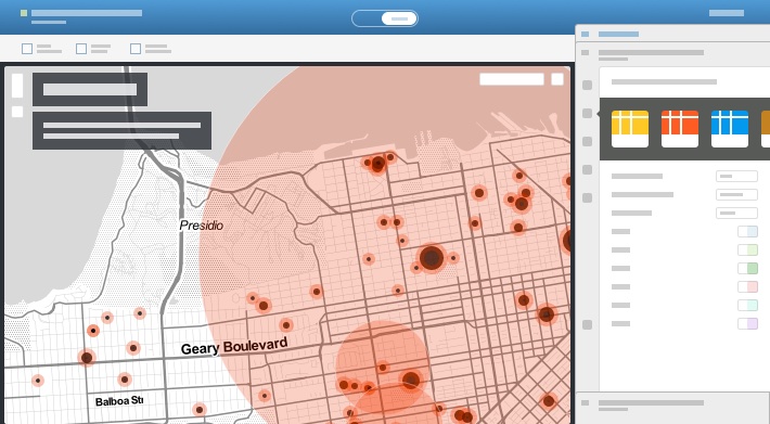
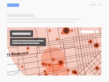
From the boardroom to major media outlets, CartoDB maps tell data stories with clarity and power. Share your insights securely with your team, or broadcast them to the world.

-
Seamless Embedding
Embed your map in your article or blog, Reddit, Wordpress or nearly anywhere. Every CartoDB plan includes unlimited map views — just watch it go viral.
-
Pixel-Perfect Styling
Adjust the style, annotate, and animate your maps to convey just the right message. Play around with style variations to get just the right visual.
-
Public and Private Sharing
Publish and share your data visualizations safely and securely. Share your data-driven insights with just your colleagues or the world.
Features
The CartoDB Advantage
-
Born on the Web
Never any software to install, so you can access the latest features any time, anywhere.
-
Easy to Learn
Great tutorials and documentation, and a gallery of amazing example visualizations.
-
Sync Your Data
CartoDB connects to the places where your data already lives, so your analysis is always up-to-date.
-
Amazing Support
Our customer success experts are here to help. Receive the care that a cartographer needs.
-
Secure
Our editor is built with leading, secure cloud-based providers. Your Location Intelligence stays your business - safe and sound.
-
Performance
We’re designed to answer big questions. Even with millions of data points and a huge audience, CartoDB stays speedy.
-
Powerful APIs
The perfect engine for building location-intelligent applications. Get more out of your data with our APIs or build your own.
-
Enterprise-Ready
Smart, flexible controls to share and manage datasets, connections and visualizations.
Integration
Plays well with others
CartoDB supports the formats and tools you use every day.
File formats
- CSV
- GEOjson
- SQL
- KML
- XLS
- ESRI Shapefile
- GEOtiff
- GPX
- GTFS
CartoDB for

Case Study
Location intelligence for your industry
Organizations from around the world use CartoDB to leverage business intelligence for actionable insights. Discover how companies perform deep analysis with location intelligence and data-driven visualizations.
-
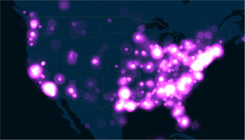
Map the pulse of your event
Twitter uses CartoDB to map the pulse of the world through geo-referenced tweets.
-
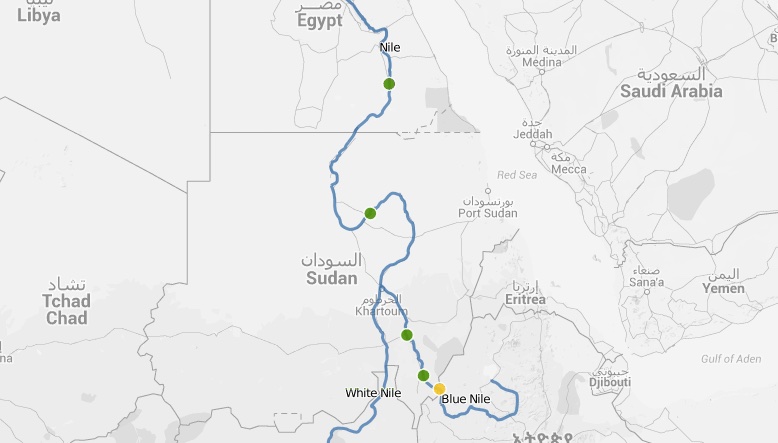
Nile's Dams
Egypt and Ethiopia spar over the Nile.
-
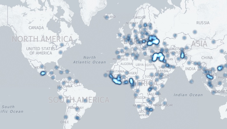
Geo World Report
A visual Guide to Geopolitical Affairs.
Pricing
CartoDB Pricing
All the right features, without the expense and headache of traditional GIS.
-
Enterprise
$825 / month*
* Starting at. Billed annually.
Contact us$9,900 / year
- Unlimited datasets
- Unlimited mapviews
- +6 layers
- Starting at
5GB of vector data - 250,000
tweets per month - Sync tables
- Private maps
- Removable brand
- Teams
-
All personal plans come with 14 days free trial
-
Special discounts for students and NGOs
Pay yearly and get 1 month off
Free
$0 / month
- Unlimited datasets
- Unlimited mapviews
- 4 layers
- 250MB of vector data
- false tweets
per month - Sync tables
- Private maps
- Removable brand
- Teams
Basic
$149 / month
Basic
$1,639 / year
- Unlimited datasets
- Unlimited mapviews
- 5 layers
- 500MB of vector data
- Sync tables
- Private maps
- Removable brand
- Teams
Pro
$499 / month
Pro
$5,489 / year
- Unlimited datasets
- Unlimited mapviews
- 6 layers
- 1.5GB of vector data
- Sync tables
- Private maps
- Removable brand
- Teams
Enterprise Starting at
$825 / month. Billed annually.
Enterprise Starting at
$9,900 / year
- Unlimited datasets
- Unlimited mapviews
- +6 layers
- Starting at
5GB of vector data - Sync tables
- Private maps
- Removable brand
- Teams
Signup Start using data to support and drive decisions
Whether you're a fast-moving startup, a Fortune 500 or a researcher testing a hunch, CartoDB can help you stop searching for information and start understanding it.