INRIX Roadway Analytics Brochure
Driving the analysis and improvement of roadway performance across cities and strategic road networks.
Read NowExpediting the movement of people and vehicles across cities, outlying regions and all the thoroughfares in between
For more than a decade, INRIX has worked closely with public agencies, providing connected vehicle data, parking analytics and insights that translate directly into efficient transport planning and informed daily operations. With coverage for more than 8 million kilometers (approximately 5 million miles) of roads and interchanges worldwide, INRIX traffic data is independently verified, highly accurate, and real time.
Only INRIX provides a comprehensive solution spanning both data and analysis. We analyze real-time data from hundreds of public and private sources, ranging from agency sensors and reports from emergency responders to a crowd-sourced network of worldwide vehicles and devices.
Providing insights on the data we collect, we offer a host of analytical services to help transportation agencies drive cost out of daily operations, pinpoint areas that most benefit from road and transit improvements, and better measure the impact of their investments.
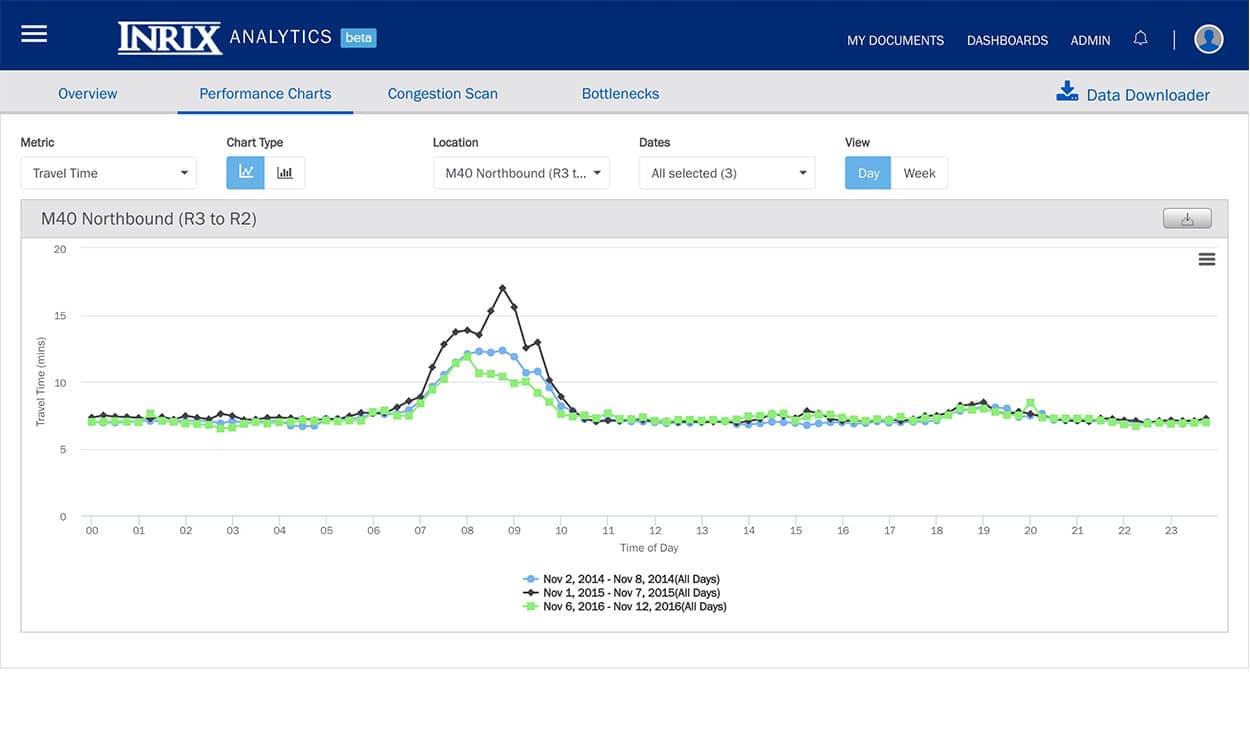
Analysis that used to take weeks can now be completed in hours or even minutes with our visualization tools, standard performance metrics, and easy-to-use tools.
Our real-time, predictive, and historical traffic services provide the data you need to identify, model and evaluate the effectiveness of your transportation projects.
Driving the analysis and improvement of roadway performance across cities and strategic road networks.
Read NowAvailable in Europe for the first time to provide instant and precise road performance analysis.
Learn MoreNew research from INRIX reveals that congestion caused by the worst traffic hotspots could cost drivers in Europe £183 billion by 2025 due to time wasted sitting in gridlock.
Read MoreA comprehensive solution for automakers, cities, universities and the parking industry including accurate data and tools for finding, comparing and paying for parking.
Learn MoreA complete picture of what's happening on the road: traffic information for every major road type, incidents, road closures, and more.
Learn MoreA Data as a Service platform and tools to optimize roadway planning, performance and decision-making. (Not available in the U.S.)
Learn MoreMust-have data and intelligence for public agencies looking to optimize roadway planning and decision-making. (U.S. only)
Learn MoreThe power of both GPS and mobile data intelligence to understand the movement of people.
Learn MoreThis Case Study summarizes the traffic data quality validations of INRIX data, performed by the University of Maryland on behalf of the I-95 Corridor Coalition during the initial Vehicle Probe Project...
Learn More
The United Kingdom’s Highways Agency (HA), who manage England’s 4,300-miles road network, were faced with the need to replace the National Traffic Control Centre’s traffic data processing and...
Learn More
The Florida Department of Transportation’s (FDOT) coordinates the planning and development of a safe, viable and balanced state transportation system serving all regions of the state. As FDOT was...
Learn More